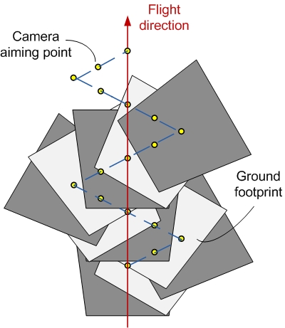
This research investigated how online mosaicking, based on imagery captured by an onboard camera, can be used for navigation aiding. In particular, introducing a coupling between a gimballed camera, that scans ground regions in flight vicinity, and the mosaicking process resulted in improved image-based motion estimations when operating in low-texture environments. The latter were fused with an inertial navigation system thereby leading to improved performance.
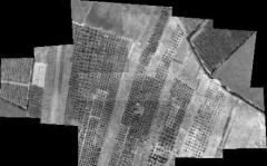
One of the generated mosaic images in JGCD 2010: